
About Gulworthy Parish
The 'modern' parish of Gulworthy has only been in existence since 1987. Prior to this most of the land was in Tavistock Hamlets Parish, which was formed after Tavistock Rural District Council was dissolved. The Parish of Gulworthy as such has no village, but is a group of hamlets and smaller settlements. Despite this there is a thriving community spirit with a School, Church and Parish Hall.
The land in Gulworthy has been worked for minerals from an early date and the last tin 'coinage' held in Devon was in 1838 at Morwellham when 176 tons of tin made into 756 blocks of tin were 'coined' or stamped with the arms of the Duchy of Cornwall.
The mining heritage of the area is reflected in the names of some of the settlements in the area e.g. Wheal Maria, Wheal Joshia, Chip Shop etc., which formed part of the Devon Great Consuls complex. In 1865 it was recorded that the mines had been working for 21 years and had produced four hundred and twenty thousand tons of ore, realising £2,500,000.
Today, much of the parish is within the Tamar Valley National Landscapes which has World Heritage status due to the links with the mining industry. Morwellham has undergone a major revamp as a World Heritage site for visitors with adjoining walks and trails into the adjacent land.
The Chip Shop and Ship Inn are the local Public Houses with the Horn of Plenty offering top class restaurant facilities.
The casual holiday maker, is catered for with a Caravan Park at Woodovis with local farms and houses offering Bed and Breakfast accommodation.
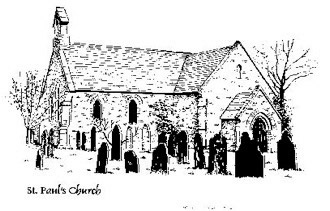
The Church, School and Parish Hall are well used 'community assets'.